The Data-Driven Urban Computing
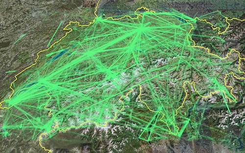
Posted: July 19th, 2008 | No Comments »Whenever I introduce the domain of “urban computing” I mention three highly intertwined themes. First the design of technologies that integrate into the urban environment (still) driven by ubicomp-optimists; second the study of impact of these technologies on the city observed by social scientists and human geographers; and third the research on revealing the invisible urban dynamics led by hybrid groups of individuals with architecture, design, urban planning, GIS, social sciences or computer sciences backgrounds. Two major drivers of this this theme are the emerging and massive availability of georeferenced data and the popularization of mapping softwares (not to say GIS). Kazys Varnelis and Leah Meisterlin’s essay “The invisible city: Design in the age of intelligent maps” exemplifies very well these new opportunities for designers to describe cities in a novel ways. Yet, this text shows a confusion the novel map previously uncollectible and inaccessible data to the possibility to produce “intelligent maps” (the urban computing version of the ubicomp’s “intelligent fridge”?). It overlooks some critical considerations that the current state of “mash-ups” is still trying to figure out: 0. What part of reality the data reveal? 1. What we can do with them? 2. How to communicate them for people to acquire information (still a far stretch from “intelligent”).
My own “Let’s map and see…”
Relation to my thesis: As much as ubicomp’s vision has been driven by the emergence of mobile, wireless and sensors technologies, I notice that part of the urban computing vision are driven by the newly available data, with a “let’s map and see” trial and error approach rather than starting from human and urban considerations. Of course, my work has not been completely foreign to that, but the clear current steps are about exploring points 0. et 1. They were discussed this Spring at the Real-Time Cities Round Table.
See also Nicolas’ “Design in the age of intelligent maps”